Μάρκα: Hexagon
Μοντέλο: NRTK Full GNSS 20
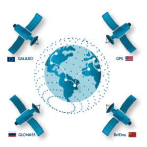
Η ετήσια συνδρομή NRTK FULL GNSS – 20 ωρών περιλαμβάνει:20 ώρες χρήσης του δικτύου σε όλη την Ελλάδα.Χρήση δορυφορικών σχηματισμών GPS, Glonass, Galileo & BeiDou (όπου είναι διαθέσιμοι).Επίλυση του δικτύου και συνόρθωση από το Α.Π.Θ.Ένταξη του δικτύου στο σύστημα HTRS07 του HEPOS για απόλυτη σύμ..
155,00€
Χωρίς ΦΠΑ:125,00€
Μάρκα: Hexagon
Μοντέλο: NRTK Full GNSS 60
Η ετήσια συνδρομή NRTK FULL GNSS – 60 ωρών περιλαμβάνει:60 ώρες χρήσης του δικτύου σε όλη την Ελλάδα.Χρήση δορυφορικών σχηματισμών GPS, Glonass, Galileo & BeiDou (όπου είναι διαθέσιμοι).Επίλυση του δικτύου και συνόρθωση από το Α.Π.Θ.Ένταξη του δικτύου στο σύστημα HTRS07 του HEPOS για απόλυτη σύμ..
291,40€
Χωρίς ΦΠΑ:235,00€
Μάρκα: Hexagon
Μοντέλο: NRTK Limited 60
Η ετήσια συνδρομή NRTK Limited – 60 ωρών περιλαμβάνει:60 ώρες χρήσης του δικτύου σε όλη την Ελλάδα.Χρήση δορυφορικών σχηματισμών GPS & Glonass.Επίλυση του δικτύου και συνόρθωση από το Α.Π.Θ.Ένταξη του δικτύου στο σύστημα HTRS07 του HEPOS για απόλυτη σύμπτωση συντεταγμένων.Τοπικοί μετασχηματισμοί..
241,80€
Χωρίς ΦΠΑ:195,00€
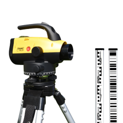
Μάρκα: Recap Survey
Μοντέλο: Digital Level Rental
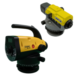
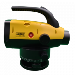
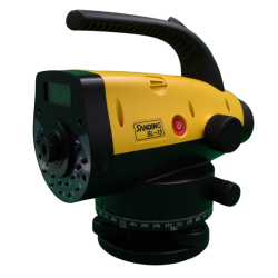
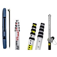
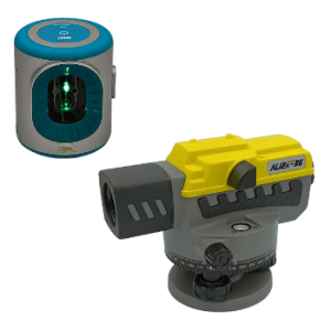
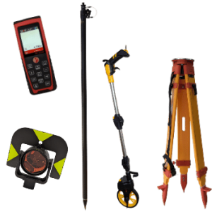
Ενοικίαση πλήρους σετ ψηφιακού χωροβάτη ακρίβειας 1.5mm / 1000m, συμπεριλαμβανομένων σταδίας, χελώνας και τρίποδα.Στις παραπάνω τιμές δεν περιλαμβάνεται ασφάλιση εξοπλισμού, πιθανές φθορές και βλάβες οι οποίες μπορεί να προκύψουν από αμέλεια και κακή χρήση. Ο εξοπλισμός ελέγχεται κατά την παράδοση κ..
74,40€
Χωρίς ΦΠΑ:60,00€
Μάρκα: Hexagon
Μοντέλο: NRTK Full GNSS 120
Η ετήσια συνδρομή NRTK FULL GNSS – 120 ωρών περιλαμβάνει:120 ώρες χρήσης του δικτύου σε όλη την Ελλάδα.Χρήση δορυφορικών σχηματισμών GPS, Glonass, Galileo & BeiDou (όπου είναι διαθέσιμοι).Επίλυση του δικτύου και συνόρθωση από το Α.Π.Θ.Ένταξη του δικτύου στο σύστημα HTRS07 του HEPOS για απόλυτη σ..
452,60€
Χωρίς ΦΠΑ:365,00€
Μάρκα: Hexagon
Μοντέλο: NRTK Limited 120
Η ετήσια συνδρομή NRTK Limited – 120 ωρών περιλαμβάνει:120 ώρες χρήσης του δικτύου σε όλη την Ελλάδα.Χρήση δορυφορικών σχηματισμών GPS & Glonass.Επίλυση του δικτύου και συνόρθωση από το Α.Π.Θ.Ένταξη του δικτύου στο σύστημα HTRS07 του HEPOS για απόλυτη σύμπτωση συντεταγμένων.Τοπικοί μετασχηματισμ..
372,00€
Χωρίς ΦΠΑ:300,00€
Μάρκα: Hexagon
Μοντέλο: NRTK Full GNSS 240
Η ετήσια συνδρομή NRTK FULL GNSS – 240 ωρών περιλαμβάνει:240 ώρες χρήσης του δικτύου σε όλη την Ελλάδα.Χρήση δορυφορικών σχηματισμών GPS, Glonass, Galileo & BeiDou (όπου είναι διαθέσιμοι).Επίλυση του δικτύου και συνόρθωση από το Α.Π.Θ.Ένταξη του δικτύου στο σύστημα HTRS07 του HEPOS για απόλυτη σ..
669,60€
Χωρίς ΦΠΑ:540,00€
Μάρκα: Hexagon
Μοντέλο: NRTK Limited 240
Η ετήσια συνδρομή NRTK Limited – 240 ωρών περιλαμβάνει:240 ώρες χρήσης του δικτύου σε όλη την Ελλάδα.Χρήση δορυφορικών σχηματισμών GPS & Glonass.Επίλυση του δικτύου και συνόρθωση από το Α.Π.Θ.Ένταξη του δικτύου στο σύστημα HTRS07 του HEPOS για απόλυτη σύμπτωση συντεταγμένων.Τοπικοί μετασχηματισμ..
558,00€
Χωρίς ΦΠΑ:450,00€
Μάρκα: Hexagon
Μοντέλο: NRTK Full GNSS unlimited Single Base annual
Η ετήσια απερίοριστη συνδρομή NRTK Full GNSS Single Base αφορά την απεριόριστη χρήση του δικτύου, αλλά με περιορισμό σύνδεσης μόνο στον κοντινότερο σταθμό. Περιλαμβάνει:Απεριόριστη χρήσης του δικτύου σε όλη την Ελλάδα με σύνδεση στον κοντινότερο διαθέσιμο σταθμό αναφοράςΧρήση δορυφορικών σχηματισμών..
446,40€
Χωρίς ΦΠΑ:360,00€
Μάρκα: Hexagon
Μοντέλο: NRTK Full GNSS unlimited annual subscription
Η ετήσια απερίοριστη συνδρομή NRTK Full GNSS περιλαμβάνει:Απεριόριστη χρήσης του δικτύου σε όλη την Ελλάδα.Χρήση δορυφορικών σχηματισμών GPS, Glonass, Beidou & Galileo (όπου είναι διαθέσιμοι).Επίλυση του δικτύου και συνόρθωση από το Α.Π.Θ.Ένταξη του δικτύου στο σύστημα HTRS07 του HEPOS για ..
892,80€
Χωρίς ΦΠΑ:720,00€
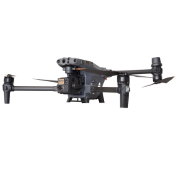
Μάρκα: DJI
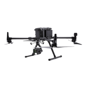
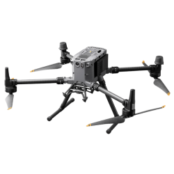
Μοντέλο: DJI Matrice 350 Basic Maintenance Service
Basic υπηρεσία συντήρησης για τη σειρά Matrice 350Επισκόπηση Ιδανική για το Matrice 350Η άμμος, η σκόνη και η υγρασία είναι αναπόφευκτες όταν χρησιμοποιείτε το ποδήλατό σας. Ορισμένα εξαρτήματα θα φθαρούν και τα μεταλλικά μέρη μπορεί ακόμη και να διαβρωθούν ταχύτερα. Θα καθαρίσουμε προσεκτικά τ..
405,48€
Χωρίς ΦΠΑ:327,00€
Μάρκα: DJI
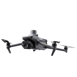
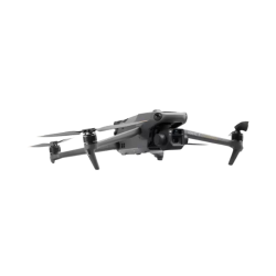
Μοντέλο: DJI Mavic 3 Basic Maintenance Service
Basic υπηρεσία συντήρησης για τη σειρά Mavic 3Επισκόπηση Ιδανική για το Mavic 3Η άμμος, η σκόνη και η υγρασία είναι αναπόφευκτες όταν χρησιμοποιείτε το ποδήλατό σας. Ορισμένα εξαρτήματα θα φθαρούν και τα μεταλλικά μέρη μπορεί ακόμη και να διαβρωθούν ταχύτερα. Θα καθαρίσουμε προσεκτικά το αεροσκ..
327,36€
Χωρίς ΦΠΑ:264,00€


-250x250.png)

-250x250.png)
-250x250.png)

-250x250.png)
-250x250.png)
-250x250.png)
-250x250.png)
-250x250.png)
-250x250.png)
-250x250.png)


-250x250.jpg)
-250x250.jpg)




-250x250.png)
-250x250.png)
