


-75x75.png "GEOSUN")
-75x75w.png "Skyland X")


-300x300.png)


-250x250.png "Geosun GS-200G")
-250x250.png "Geosun GS-200G")
%20(1)-250x250.png "GOSLAM M40 RTK")
-250x250.png "GOSLAM M40 RTK")


-250x250.png "RECAP PACER X - Full Rover Set")
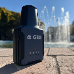
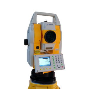
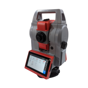
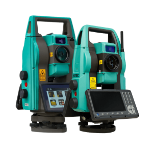
-250x250.png "a-GEO AlphaY Γεωδαιτικός σταθμός 2''")
-250x250.png "a-GEO AlphaY Γεωδαιτικός σταθμός 2''")
-250x250.png "STEC AXIS 2")
-250x250.png "STEC AXIS 2")
-250x250.png "STEC AXIS 9 - ANDROID TS")
-250x250.png "STEC AXIS 9 - ANDROID TS")
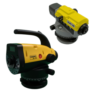
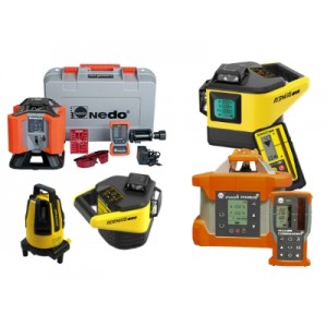
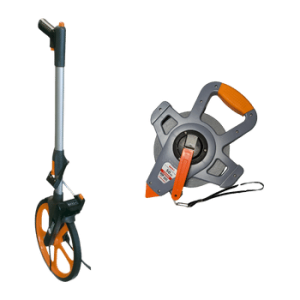


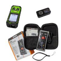
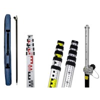
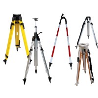
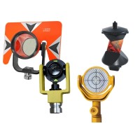
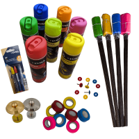
-250x250.jpg "1000 Σημαίες σήμανσης 21 inch (53.3cm)")
-250x250.jpg "1000 Σημαίες σήμανσης 21 inch (53.3cm)")
-250x250.png "SW-DG100 Διπλής κατεύθυνσης αποστασιόμετρο με πράσινο Laser")
-250x250.png "SW-DG100 Διπλής κατεύθυνσης αποστασιόμετρο με πράσινο Laser")

-250x250.png "RTM-AL Ενισχυμένος τρίποδας αλουμινίου RECAP Dual Lock")
-250x250.png "RP250-2C Πτυσσόμενος στυλεός ανθρακονημάτων RECAP 2.50μ")
-250x250.png "RP250-2C Πτυσσόμενος στυλεός ανθρακονημάτων RECAP 2.50μ")




-250x250.png "Μεταχειρισμένος δέκτης RTK e-survey E600")
-250x250.png "Μεταχειρισμένος δέκτης RTK e-survey E600")
-500x500.png "Precise S2")
-500x500.png "Precise S2")
-500x500.png "Precise S2")
-500x500.png "Precise S2")
-500x500.png "Precise S2")
-500x500.png "Precise S2")
-500x500.png "Precise S2")
-500x500.png "Precise S2")
-500x500.jpg "Precise S2")
-80x80.png "Precise S2")
-80x80.png "Precise S2")
-80x80.png "Precise S2")
-80x80.png "Precise S2")
-80x80.png "Precise S2")
-80x80.png "Precise S2")
-80x80.png "Precise S2")
-80x80.png "Precise S2")
-80x80.jpg "Precise S2")
 Messenger
 WhatsApp
 Τηλέφωνο
- Διαθεσιμότητα: Σε απόθεμα
- Μοντέλο: Precise S2
- Βάρος: 5.00
- Διαστάσεις: 38.00 x 30.00 x 18.00

Η προσφορά λήγει σε:
Άλλα προϊόντα του ίδιου κατασκευαστή
-60x60.png "Precise S7")
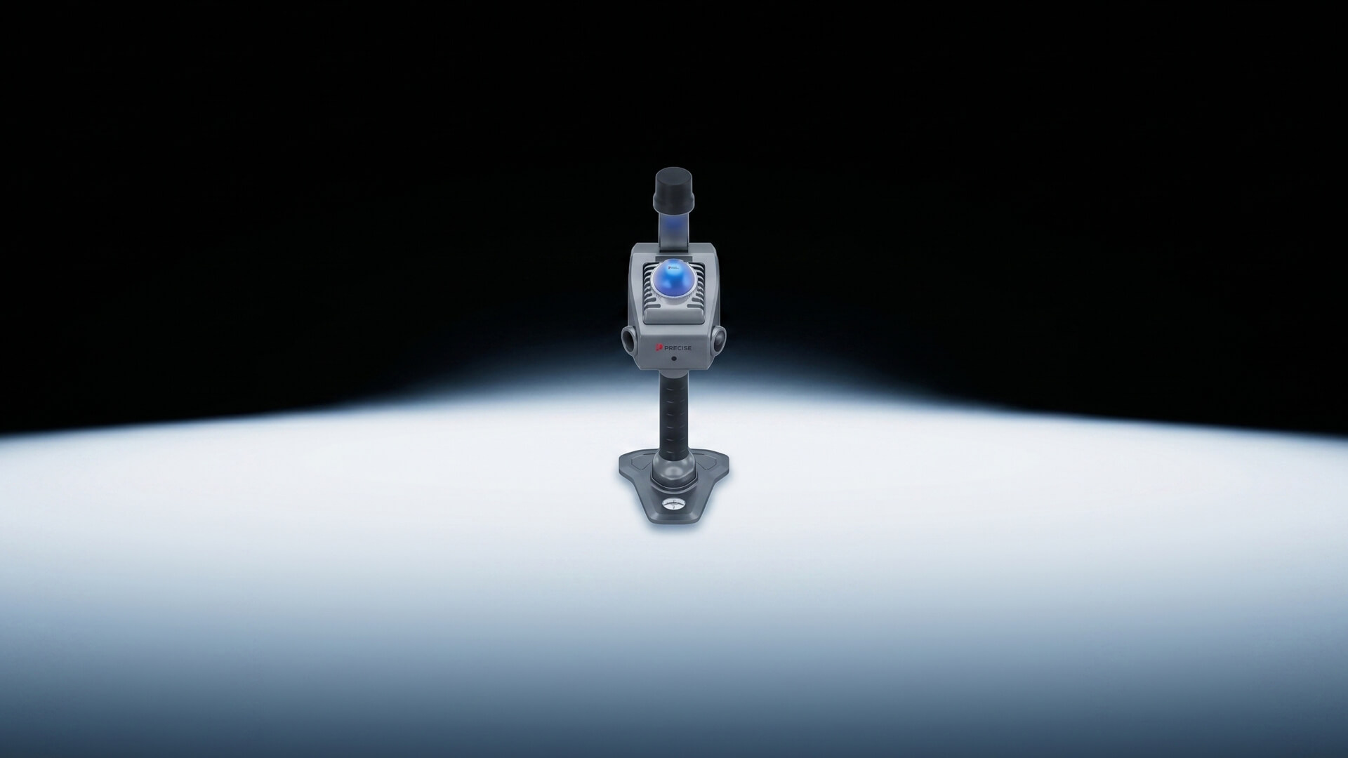
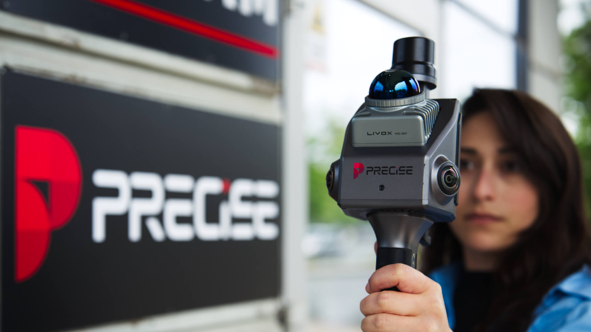
Φορητό 3D LiDAR Scanner
PRECISE S2
Scan it. See it. In true color.
Dual 1-Inch
Αισθητήρας κάμερας
Ακρίβεια
≤ 1cm
Livox LiDAR
Αισθητήρας LiDAR
Δωρεάν Λογισμικό
Desktop & Android
Algorithmic Magic to Enhance ‘Precision, Reliability, and Ease’, for an Exceptional User Experience.
Εξαιρετικά Υψηλό Ποσοστό Fix
99.9%
Το S2 επιτυγχάνει κορυφαία ακρίβεια εντοπισμού θέσης. Κατά μέσο όρο, μόνο 1 στις 1.000 προσπάθειες εντοπισμού αποκλίνει, διασφαλίζοντας απαράμιλλη αξιοπιστία για κρίσιμες εφαρμογές.
*Το ποσοστό fix και η ακρίβεια ενδέχεται να επηρεαστούν από εξωτερικές συνθήκες, όπως η λήψη ανακλάσεων (multipath), αδιαπέραστα εμπόδια, η γεωμετρία των δορυφόρων και οι ατμοσφαιρικές συνθήκες.
Σαρώστε Μία Φορά. Εξοικονομήστε το 80% του Χρόνου σας.
Ένα πέρασμα. Πλήρης κάλυψη. Άμεσα αποτελέσματα — χωρίς να χρειάζεται δεύτερη προσπάθεια.
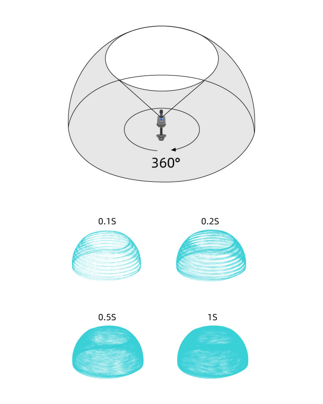
Οπτικό Πεδίο (FOV) 360°
Αποτυπώστε ολόκληρη τη σκηνή με ένα μόνο πέρασμα, χρησιμοποιώντας την Τεχνολογία Hybrid Rotating Mirror για άμεση κάλυψη πλήρους περιβάλλοντος.
Αξιοποιώντας την τεχνολογία υβριδικού-στερεού περιστρεφόμενου κατόπτρου (hybrid-solid rotating mirror), το PRECISE S2 προσφέρει ένα εξαιρετικά ευρύ οπτικό πεδίο 360°. Ως αποτέλεσμα επιτρέπει την ολοκληρωμένη αντίληψη του χώρου σε πραγματικό χρόνο, χωρίς να δημιουργούνται τυφλά σημεία κατεύθυνσης.
Δεν είναι απλά κατάλληλο – είναι ιδανικό για ενιαία αποτύπωση ολόκληρου του χώρου, είτε περιορίζεται σε ένα επίπεδο είτε όχι.
Προοδευτική Επέκταση Οπτικού Πεδίου
Πλήρης κάλυψη σε 1 δευτερόλεπτο, με λιγότερες κινήσεις και απόδοση ανώτερη από τα συνηθισμένα multi-line LiDAR.
Το PRECISE S2 διευρύνει συνεχώς το πεδίο κάλυψής του με κάθε δευτερόλεπτο σάρωσης. Μέσα σε μόλις 1 δευτερόλεπτο, επιτυγχάνει σχεδόν πλήρη χωρική κάλυψη, ξεπερνώντας τα τυπικά μηχανικά multi-line LiDAR, τα οποία περιορίζονται από σταθερό κατακόρυφο πεδίο θέασης 27°–41°.
Κεκλιμένη τοποθέτηση 25°
Ευρύτερη κάλυψη. Λιγότερα περάσματα.
Το PRECISE S2 διαθέτει αισθητήρα Livox τοποθετημένο με κλίση 25° προς τα κάτω, επιτρέποντάς του να καταγράφει ταυτόχρονα το δάπεδο, τα αντικείμενα μπροστά από τον χρήστη και την οροφή, μέσα από μία μόνο σάρωση.
Με αυτόν τον τρόπο, δεν απαιτούνται συνεχείς προσαρμογές της γωνίας κατά τη λειτουργία, γεγονός που αυξάνει σημαντικά την αποδοτικότητα στις φορητές εργασίες σάρωσης.
Cloud Point Travel · The Bund, Σαγκάη
Δίπλα στον ποταμό Huangpu στέκει το Peace Hotel — σχεδόν έναν αιώνα μετά την ανέγερσή του.
Έχει παρακολουθήσει τη σύγχρονη άνοδο της πόλης και τη νοσταλγική της γοητεία·
τους ήχους της jazz, τον χάλκινο θόλο και την πράσινη κορυφή του, τώρα αποτυπωμένα στο φως.
Με ακρίβεια χιλιοστού, το PRECISE S2 καταγράφει τον θρύλο που είναι χαραγμένος στην πρόσοψή του.
If You Can Walk It, You Can Scan It.
Κινηθείτε ελεύθερα, σαρώστε με ακρίβεια, χωρίς τυφλά σημεία, ακόμη και σε χώρους χωρίς σήμα GNSS.
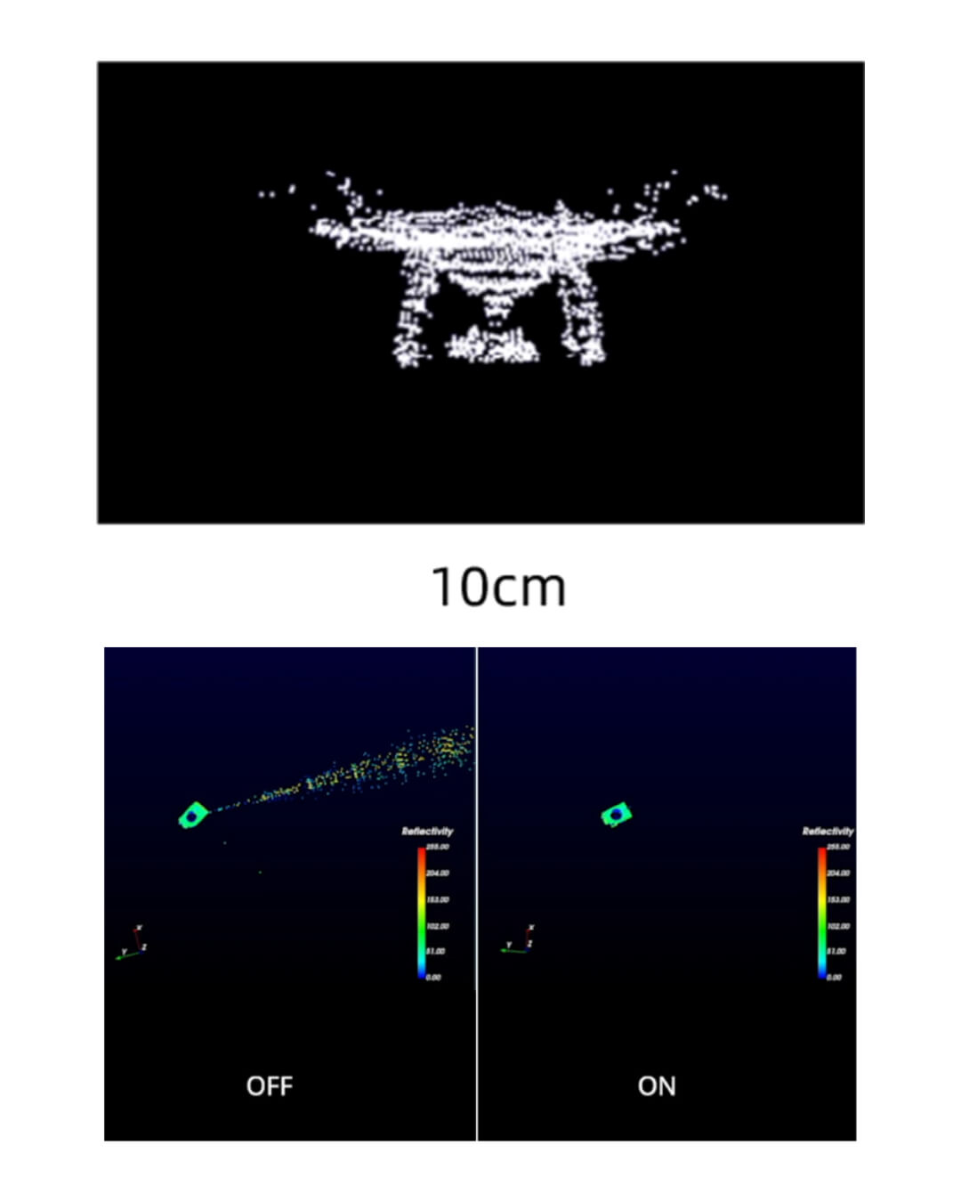
Ελάχιστη Εμβέλεια Ανίχνευσης
Ανίχνευση από εξαιρετικά κοντινή απόσταση, χωρίς τυφλά σημεία — ακόμη και σε τοίχους και γωνίες.
Με ελάχιστη απόσταση ανίχνευσης μόλις 10 cm, το PRECISE S2 ξεχωρίζει στην καταγραφή αντικειμένων που βρίσκονται πολύ κοντά στον σαρωτή.
Ο συμπαγής σχεδιασμός του επιτρέπει ευέλικτη τοποθέτηση και εξασφαλίζει ότι καμία περιοχή δεν μένει εκτός καταγραφής — ακόμη και σε στενούς ή δύσκολους χώρους.
Ενεργή Προστασία από Παρεμβολές
Σταθερή και αξιόπιστη σάρωση, χωρίς επηρεασμό από παρεμβολές σήματος, ακόμη και σε περιβάλλοντα με πολλαπλά LiDAR ή έντονες ανακλάσεις.
Σχεδιασμένο με προηγμένες δυνατότητες προστασίας από παρεμβολές, το PRECISE S2 προσφέρει σταθερή και αξιόπιστη απόδοση ακόμη και σε περιβάλλοντα όπου λειτουργούν πολλαπλά LiDAR.
Είτε σε εσωτερικούς είτε σε εξωτερικούς χώρους, παραμένει σταθερά προσανατολισμένο στην καταγραφή, χωρίς να επηρεάζεται από επικαλυπτόμενα σήματα.
Ενσωματωμένο IMU Υψηλής Συχνότητας
Πιο σταθερές σαρώσεις. Πιο ακριβή μοντέλα.
Εξοπλισμένο με IMU 6 αξόνων — επιταχυνσιόμετρο 3 αξόνων και γυροσκόπιο 3 αξόνων — το PRECISE S2 προσφέρει καταγραφή κίνησης υψηλής συχνότητας στα 200 Hz.
Έτσι, εξασφαλίζει αυξημένη ακρίβεια στις φορητές 3D σαρώσεις, ακόμη και κατά την κίνηση ή σε σύνθετα περιβάλλοντα.
.png)
Ταξίδι στο Νέφος Σημείων · Η απαρχή του Bund
Εδώ ξεκίνησε η Σαγκάη.
Πριν από ενάμιση αιώνα οι παραδοσιακές αυλές Σικουμέν (Shikumen) συνάντησαν τις δυτικές προσόψεις, διαμορφώνοντας το DNA της πόλης.
Αυτό που σαρώνει το PRECISE S2 εδώ είναι κάτι περισσότερο από μια απλή δομή, είναι ο διάλογος μεταξύ Ανατολής και Δύσης, παρελθόντος και παρόντος.
Κάθε δέσμη φωτός επιτρέπει στις παλιές πέτρες να αναδειχθούν ξανά.
Scan Today. Model Today.
Διπλοί αισθητήρες 1 ίντσας και ακριβής συγχρονισμός για καθαρές, έγχρωμες σαρώσεις
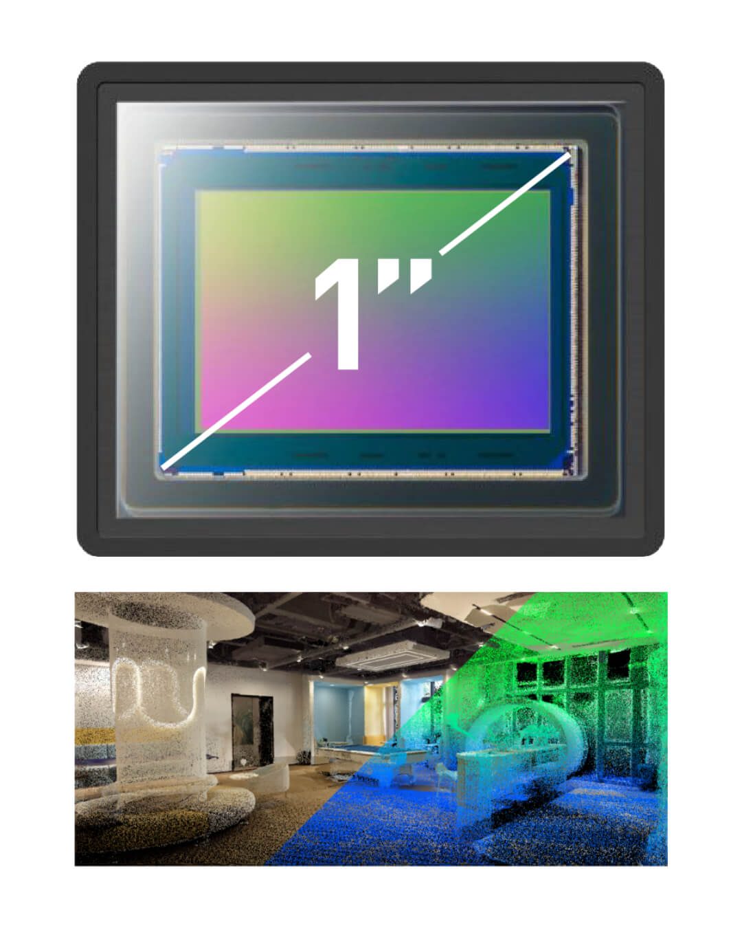
Διπλοί Αισθητήρες Εικόνας 1 ίντσας
Πιο ευκρινείς φωτογραφίες. Πιο ζωντανά νέφη σημείων.
Εξοπλισμένο με διπλούς CMOS αισθητήρες 1 ίντσας, με μέγεθος pixel 2,4 μm και ανάλυση 16MP ανά φακό, το PRECISE S2 καταγράφει καθαρότερες εικόνες υψηλής πιστότητας, επιτρέποντας πιο ακριβή και πιο ζωντανό χρωματισμό του νέφους σημείων.
Σε συνδυασμό, οι δύο κάμερες προσφέρουν συνολικό πεδίο θέασης 270° οριζόντια και 360° κατακόρυφα, εξασφαλίζοντας πλήρη κάλυψη της σκηνής, από το δάπεδο έως την οροφή.
Ευκρινή Νέφη Σημείων Τέλεια Συγχωνευμένα
Πιο καθαρή εικόνα. Μεγαλύτερη ακρίβεια.
Με συγχρονισμό χρόνου σε επίπεδο μικροδευτερολέπτου μεταξύ όλων των αισθητήρων, το PRECISE S2 δημιουργεί νέφη σημείων υψηλής ακρίβειας, όπου τα δεδομένα χρώματος και έντασης ευθυγραμμίζονται απόλυτα.
Το αποτέλεσμα είναι μεγαλύτερη ακρίβεια στη μοντελοποίηση και καθαρότερη, πιο αξιόπιστη οπτική απεικόνιση.
Real-Time Preview Αποτελέσματα Ακριβείας
Αυτό που βλέπετε είναι αυτό που αποτυπώνετε. Οπουδήποτε, οποιαδήποτε στιγμή.
Το PRECISE S2 συνοδεύεται από ειδική εφαρμογή για Android, επιτρέποντας την προεπισκόπηση έγχρωμων νεφών σημείων σε πραγματικό χρόνο, απευθείας από το κινητό σας.
Κατά τη διάρκεια της σάρωσης, ο χρήστης μπορεί να μεταδίδει, να κατεβάζει και να αναπαράγει τα δεδομένα του νέφους σημείων — όλα μέσα από την παλάμη του χεριού του.
Σχεδιασμένο ως SLAM υψηλής πιστότητας
Πλουσιότερα δεδομένα. Εξυπνότερη χαρτογράφηση.
Η εσωτερικά ανεπτυγμένη τεχνολογία LiDAR + Vision SLAM της PRECISE δημιουργεί εξαιρετικά πυκνά νέφη σημείων σε πραγματικό χρόνο, με ζωντανό και ομοιόμορφο χρωματισμό.
Σταθερή ακόμη και σε κίνηση ή σε απαιτητικές σκηνές, είναι έτοιμη να ανταποκριθεί στα πιο δύσκολα εσωτερικά και εξωτερικά περιβάλλοντα.
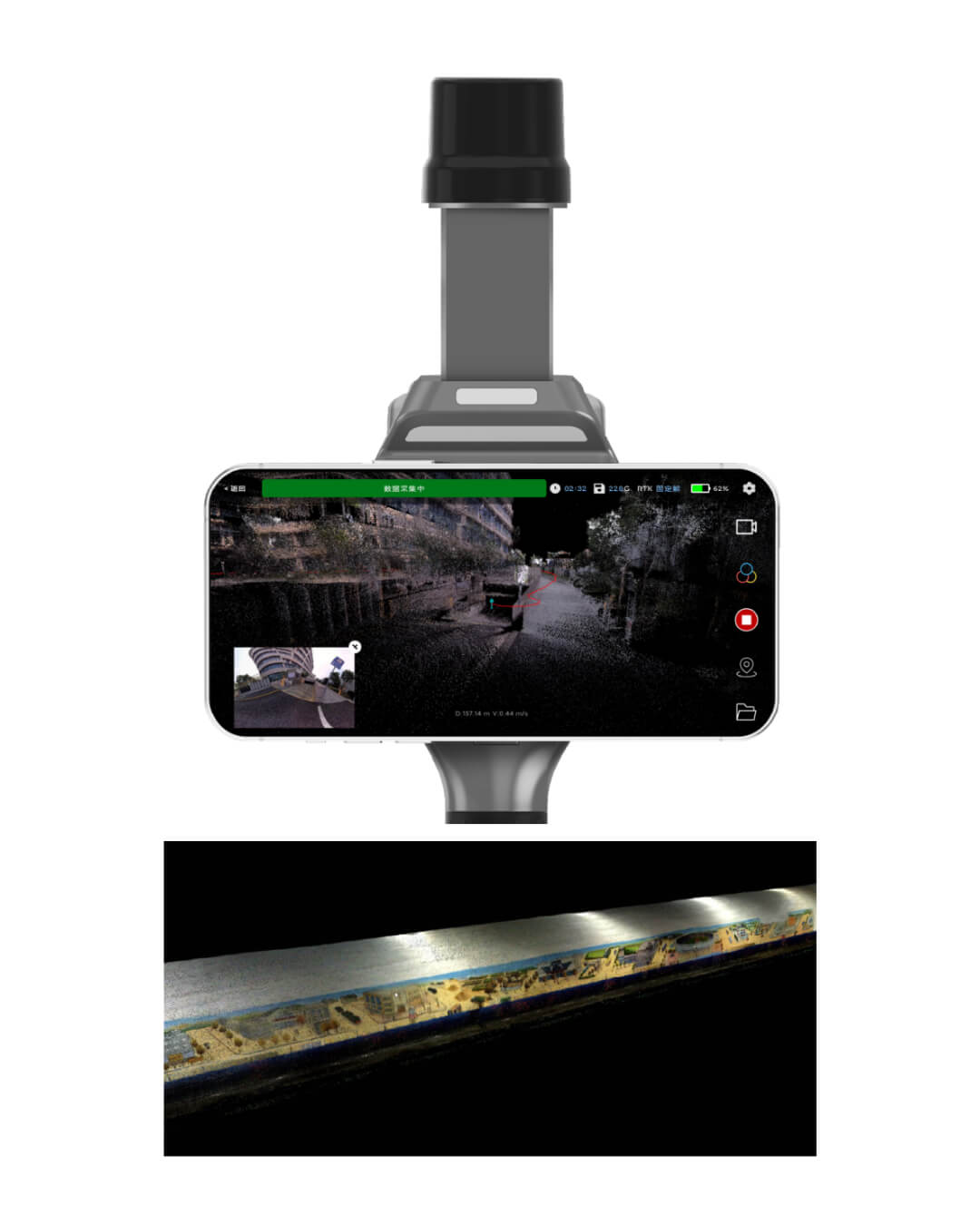
Ταξίδι στο Νέφος Σημείων (Point Cloud Travel) · Η Αφετηρία του Bund
Καθώς η πρωινή ομίχλη διαλύεται, το φως του ήλιου αγγίζει τα γείσα που στέκουν εκεί εδώ και έναν αιώνα.
Το PRECISE S2 αποτυπώνει αυτή τη φευγαλέα ζεστασιά σε εκατομμύρια σημεία.
Ο χρόνος εδώ δεν χάνεται — απλώς μεταμορφώνεται και διατηρείται μέσα στα δεδομένα.
Η τεχνολογία γίνεται φορέας μνήμης, παρατείνοντας την ψυχή της πόλης.
Small, Simple, Powerful. All Day Long.
Σάρωση υψηλής ακρίβειας με οικονομία πόρων — μία μόνο συσκευή, έναν χειριστή και μηδενικό χρόνο αναμονής.
Εξαιρετικά ελαφρύ. Απόλυτα φορητό.
Μόλις 1 kg — σχεδιασμένο για σάρωση στο χέρι.
Σχεδιασμένο για πραγματική ευελιξία, το PRECISE S2 ζυγίζει μόλις περίπου 1 kg — αρκετά μικρό για να κινείται εύκολα σε στενούς χώρους και αρκετά ελαφρύ για πολύωρη χρήση χωρίς κόπωση.
Είτε το κρατάτε στο χέρι είτε το μεταφέρετε στον ώμο, είναι έτοιμο για γρήγορη σάρωση, οπουδήποτε χρειαστεί.
Τόσο απλό όσο μια φωτογραφία. Πιο έξυπνο από ποτέ.
Σάρωση με ένα άγγιγμα. Πάντα ενημερωμένο.
Χωρίς laptop. Χωρίς καλώδια. Απλώς ανοίγετε την εφαρμογή στο κινητό ή το tablet σας και σαρώνετε τόσο εύκολα όσο τραβάτε μια φωτογραφία.
Με ενημερώσεις firmware μέσω διαδικτύου και χωρίς ανάγκη εργοστασιακής επαναβαθμονόμησης, το PRECISE S2 παραμένει έτοιμο για χρήση οποιαδήποτε στιγμή, οπουδήποτε — με μηδενικό χρόνο αναμονής και πλήρη αυτονομία.
.png)
Αδιάλειπτη Ενέργεια. Χωρίς Διακοπές.
Hot-swap και συνεχίζετε κανονικά!
Με δοκιμασμένη αυτονομία 2,5 ωρών και υποστήριξη τροφοδοσίας μέσω USB-C power bank, μπορείτε να συνεχίζετε τη σάρωση χωρίς παύση.
Αλλάξτε πηγή τροφοδοσίας εν κινήσει, χωρίς επανεκκίνηση — ιδανικό για απαιτητικές ημέρες στο πεδίο και συνεχόμενες εργασίες όπου δεν υπάρχει περιθώριο για αστοχίες.
Ένα S2. Αντικαθιστά πολλούς στατικούς σαρωτές.
Τοπογραφικής ακρίβειας λεπτομέρεια, με πυκνότητα 40 γραμμών και ακρίβεια ≤1 cm.
Το PRECISE S2 προσφέρει την ακρίβεια και την κάλυψη πολλαπλών σαρωτών τρίποδα, μέσα από μία μόνο, συμπαγή συσκευή.
Καταγράψτε πυκνά, έγχρωμα νέφη σημείων για εφαρμογές BIM, ασφάλειας και καθημερινές αποτυπώσεις, μειώνοντας ταυτόχρονα τον εξοπλισμό, τον χρόνο εγκατάστασης και τις ανάγκες σε προσωπικό πεδίου.
.png)
Post-Processing Powerhouse
Από τη Σάρωση στο Μοντέλο • Έτοιμο για κάθε Ροή Εργασίας.
Δεδομένα έτοιμα για Mesh Modeling
Τα δεδομένα σας, στη δική σας ροή εργασίας.Η πλήρης πρόσβαση στα αρχικά δεδομένα σάρωσης και εικόνας επιτρέπει τη δημιουργία mesh μοντέλων μέσω προσαρμοσμένης ενσωμάτωσης SLAM — ιδανική για τοπογραφικές εργασίες, επιθεωρήσεις και εφαρμογές digital twin.
Βελτιστοποιημένο για 3DGS Modeling
Καθαρότερες εικόνες, καλύτερη ανακατασκευή.Με αισθητήρα 1 ίντσας και ενσωματωμένη καταγραφή θέσης, οι φωτογραφίες είναι καθαρές, χρωματικά ακριβείς και απόλυτα ευθυγραμμισμένες — ιδανικές για υψηλής πιστότητας 3DGS ανακατασκευή.
Άμεση Ενσωμάτωση σε BIM/CAD
Νέφη σημείων που ταιριάζουν άμεσα στη ροή σας.Τα νέφη σημείων εισάγονται ομαλά σε πλατφόρμες BIM και CAD, επιταχύνοντας την ακριβή σχεδίαση και απλοποιώντας τις διαδικασίες μετεπεξεργασίας.
Δωρεάν Λογισμικό Επεξεργασίας Νεφών Σημείων
Χωρίς επιπλέον χρεώσεις. Χωρίς περιορισμούς.Το PRECISE S2 περιλαμβάνει πλήρες πακέτο λογισμικού επεξεργασίας νεφών σημείων, χωρίς επιπλέον χρέωση. Ο χρήστης μπορεί να προβάλλει, να επεξεργάζεται, να αναπαράγει και να εξάγει έγχρωμα νέφη σημείων — χωρίς συνδρομές ή πρόσθετα έξοδα.
Technical Specifications
| BASIC | |
|---|---|
| Weight | Main Unit: 700g Grip Battery: 379g Overall: 1,079g |
| Protection Class | IP5X |
| Working Temperature | -20 ℃ to 55 ℃ |
| Storage Temperature | -20 ℃ to 60 ℃ |
| WIFI | |
| WIFI | WIFI 6, Support 2.4G/5G 802.11 a/b/g/n/ac/ax WIFI 2.4G: 2.400 ~ 2.4835 GHz WIFI 5G: 5.15 ~ 5.35GHz, 5.47 ~ 5.725GHz, 5.725 ~ 5.85GHz |
| WIFI Distance | 20m |
| Bluetooth | |
| Bluetooth | Support |
| Dimensions & Hardware | |
| Dimensions | Overall: 110.5 * 140 * 313.3mm Main Unit: 110.5 * 114 * 143.1mm |
| Storage Capacity | 256 GB (Support memory expansion) |
| Supply Voltage | 13.2 V ~ 16.8 V |
| Working Power | < 24 W |
| Interface | TF Card slot / Type-C |
| Processor Performance | 8-core 64-bit processor, clock speed 2.4 GHz |
| V-SLAM CAMERA | |
| Focal Length | 1.68 mm |
| Image Pixel | 1280 * 800 pixels |
| Effective Pixels | 1 million |
| Frame Rate | 30 Hz |
| DATA & SOFTWARE | |
| Point Cloud Thickness | ≤ 1cm |
| Relative Accuracy | ≤ 2cm |
| Absolute Accuracy | ≤ 5cm |
| RTK | |
| RTK Accuracy | Horizontal: 0.8 cm + 1 ppm Vertical: 1.5 cm + 1 ppm |
| Support Regions | China / Overseas |
| Support Satellite | BDS: B1I, B2I, B3I, B1C, B2a, B2b GPS: L1C/A, L1C, L2C, L2P(Y), L5 GLONASS: L1, L2, L3 Galileo: E1, E5a, E5b, E6 QZSS: L1C/A, L1C, L2C, L5 NavIC: L5 SBAS: L1 |
| CAMERA | |
| Sensor Size | 13.13 * 8.76 mm; 1 inch |
| Pixel Size | 2.4 μm |
| Image Size | 3504 * 4672 pixels |
| Effective Pix | Single lens 16 million |
| Shutter Type | Mechanical shutter Electronic shutter |
| Aperture | Fixed F2.8 |
| Focal Length | 3.5 mm |
| Lens Number | 2 |
| Lens FOV | Horizontal: 140° Vertical: 200° |
| Image Format | JPG |
| BATTERY | |
| Battery Capacity | 45.36 wh (3150 mAh) |
| Supply Voltage | 14.8 V ~ 16.8 V |
| Working Time | 150 min |
| Charging Port | Type-C |
| Charging Power | PD 30 W |
| Charging Time | 120 min |
-250x250.png "GOSLAM M40")
-250x250.png "T50i RTK SLAM")
-250x250.png "T50i RTK SLAM")
-250x250.png "T100i RTK SLAM")
-250x250.png "Precise S7")
-250x250.png "Precise S7")
-250x250.png "a-GEO Matrix III Lite - Full Rover Set")
-250x250.png "a-GEO Matrix III Lite - Full Rover Set")