


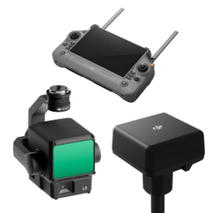
-75x75.png "GEOSUN")
-75x75w.png "Skyland X")


-300x300.png)


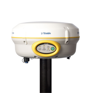
-250x250.png "Geosun GS-200G")
-250x250.png "Geosun GS-200G")
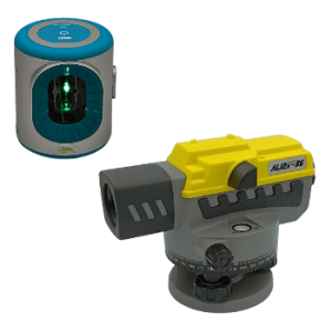
%20(1)-250x250.png "GOSLAM M40 RTK")
-250x250.png "GOSLAM M40 RTK")


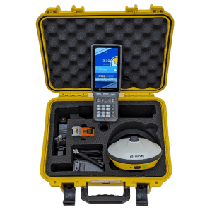
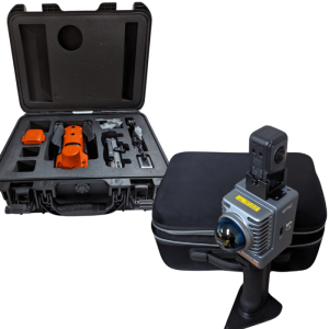
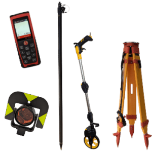
-250x250.png "RECAP PACER X - Full Rover Set")


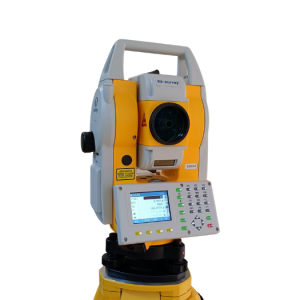
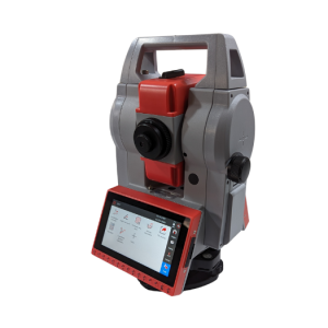
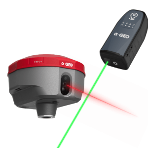
-250x250.png "a-GEO AlphaY Γεωδαιτικός σταθμός 2''")
-250x250.png "a-GEO AlphaY Γεωδαιτικός σταθμός 2''")
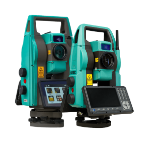
-250x250.png "STEC AXIS 2")
-250x250.png "STEC AXIS 2")
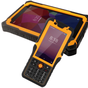
-250x250.png "STEC AXIS 9 - ANDROID TS")
-250x250.png "STEC AXIS 9 - ANDROID TS")


-250x250.jpg "1000 Σημαίες σήμανσης 21 inch (53.3cm)")
-250x250.jpg "1000 Σημαίες σήμανσης 21 inch (53.3cm)")
-250x250.png "SW-DG100 Διπλής κατεύθυνσης αποστασιόμετρο με πράσινο Laser")
-250x250.png "SW-DG100 Διπλής κατεύθυνσης αποστασιόμετρο με πράσινο Laser")


-250x250.png "RTM-AL Ενισχυμένος τρίποδας αλουμινίου RECAP Dual Lock")
-250x250.png "RP250-2C Πτυσσόμενος στυλεός ανθρακονημάτων RECAP 2.50μ")
-250x250.png "RP250-2C Πτυσσόμενος στυλεός ανθρακονημάτων RECAP 2.50μ")


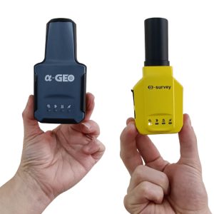
-250x250.png "Μεταχειρισμένος δέκτης RTK e-survey E600")
-250x250.png "Μεταχειρισμένος δέκτης RTK e-survey E600")

-500x500.png "GOSLAM M40")
-500x500.png "GOSLAM M40")
-500x500.png "GOSLAM M40")
-500x500.png "GOSLAM M40")


-80x80.png "GOSLAM M40")
-80x80.png "GOSLAM M40")
-80x80.png "GOSLAM M40")
-80x80.png "GOSLAM M40")


 Messenger
 WhatsApp
 Τηλέφωνο
- Διαθεσιμότητα: Σε απόθεμα
- Μοντέλο: M40
- Βάρος: 3.50
- Διαστάσεις: 40.00 x 25.00 x 15.00


Άλλα προϊόντα του ίδιου κατασκευαστή
%20(1)-60x60.png "GOSLAM M40 RTK")
-60x60.png "T100i Pro RTK SLAM")
-60x60.png "T100i RTK SLAM")

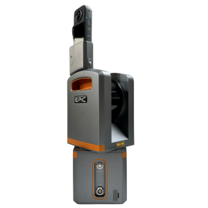
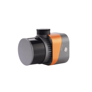
GOSLAM M40
All-In-One Σχεδίαση - Visual SLAM - Χρωματισμός νέφους σημείων σε ένα βήμα
70m • 200.000 σημ/sec • 1cm ακρίβεια • 360 x 59 FOV
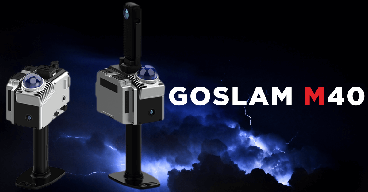
Το GOSLAM M40 υιοθετεί ελαφρύ σχεδιασμό, καθιστώντας το ιδανικό για χρήση στο χέρι, με κράνος, αλλά και με μιας σειρά νέων αξεσουάρ.
Ενσωματώνοντας προηγμένη τεχνολογία σταθερού LiDAR σε έναν συμπαγή, ελαφρύ, και βελτιωμένο σχεδιασμό, προσφέρει στους χρήστες μια άνευ προηγουμένου εμπειρία σάρωσης.
Το GOSLAM M40 δεν είναι ένα ακόμα Laser Scanner χειρός. Είναι μια δέσμευση της GOSLAM να προσφέρει το καλύτερο δυνατό αποτέλεσμα στα χαμηλού budget σταθερού LiDAR SLAM, χωρίς να θυσιάζει την ακρίβεια και την αξιοπιστία.
Το M40 είναι πλήρως αναβαθμίσιμο μέσω του WebUI του, και οι ακρίβειες του θα βελτιώνονται συνεχώς, ενώ παράλληλα θα προστίθενται νέες δυνατότητες και νέοι τρόποι χρήσης αξιοποιώντας στο έπακρο τον αρθρωτό (modular) σχεδιασμό του.
To GOSLAM δεν είναι μια ακόμα αγορά. Είναι μια επένδυση.
.jpg)
Συμπαγής modular σχεδιασμός
Το GoSLAM LidarWorks είναι μια συνοδευτική εφαρμογή η οποία έχει δημιουργηθεί για τους σαρωτές της GoSLAM. Με τη χρήση του μπορείτε να επεξεργαστείτε πλήρως και αποτελεσματικά μεγάλα νέφη σημείων (ακόμα και τρίτων κατασκευαστών) και να εκτελέσετε μια σειρά βασικών και προηγμένων λειτουργιών όπως βελτιστοποίηση, μετατροπή, συγχώνευση κτλ νεφών, σχεδίαση ογκομετρήσεις, και πολλά ακόμη.
.jpg)
Παράμετροι Λειτουργίας M40
Ακτίνα σάρωσης: 70m
Πεδίο σάρωσης: 360° x 59°
Ταχύτητα σάρωσης: 200.000 σημ/sec
Ακρίβεια σάρωσης: 1cm
Γραμμές σάρωσης: 16
Επίλυση: Υβριδικός αλγόριθμος - συνδυαστική πεδίου - γραφείου
Χειρισμός: εφαρμογή Android
Αποθηκευτικός χώρος: 500GB επεκτάσιμη
Θερμοκρασία λειτουργίας: -35° ως 60°C
Βάρος: 840g
Υλικό: Aviation αλουμίνιο + ABS + PC
Μέθοδος τοπικοποίησης: SLAM (δεν απαιτείται GPS)
Διάρκεια λειτουργίας: 1.5 - 2.5 ώρες ανάλογα με την μπαταρία
Πλατφόρμες χρήσης: Χέρι, backpack, κράνος, μηχανικός βραχίονας AV, όχημα, ρομποτικός "σκύλος" κτλ
-250x250.png "EasyScan T05 Laser Scanner")
-250x250.png "EasyScan T05 Laser Scanner")
-250x250.png "T50i RTK SLAM")
-250x250.png "T50i RTK SLAM")

-250x250.png "T100i RTK SLAM")
-250x250.png "T100i Pro RTK SLAM")
-250x250.png "a-GEO Matrix III Lite - Full Rover Set")
-250x250.png "a-GEO Matrix III Lite - Full Rover Set")