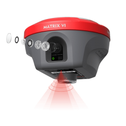
- Διαθεσιμότητα: Σε απόθεμα
- Download •► ••• a-GEO Matrix II Datasheet
- Μοντέλο: Matrix II - Full Set
- Βάρος: 5.00
- Διαστάσεις: 30.00 x 25.00 x 20.00
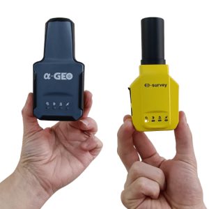
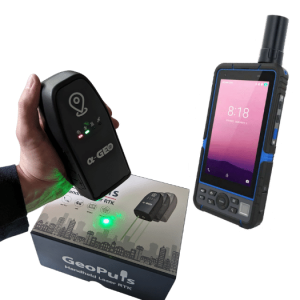
Άλλα προϊόντα του ίδιου κατασκευαστή
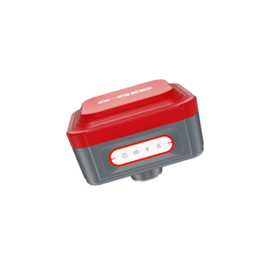
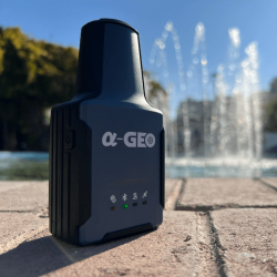
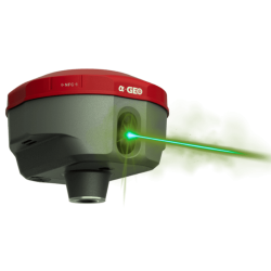
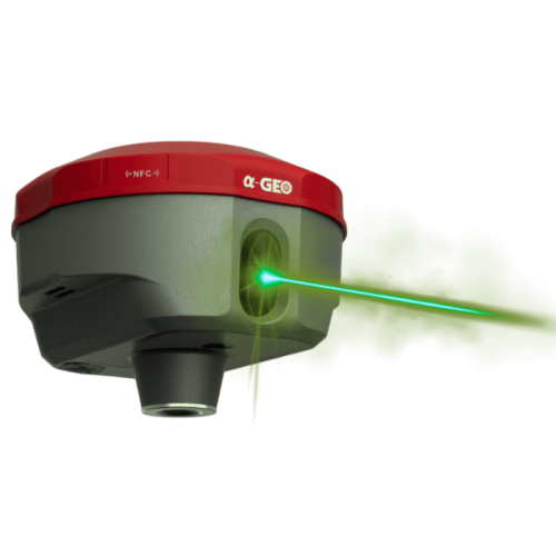
AlphaGeo Matrix-II Laser RTK IMU Receiver
LASER RTK δέκτης με IMU και AR/VR!
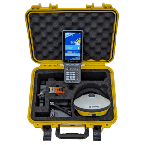
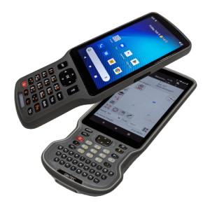
Πλήρες Set με χειριστήριο πεδίου S60III, SurPro 6 & στυλεό ανθρακονημάτων
Αναλυτική παρουσίαση: https://recap-survey.com/alphageo-matrix-ii/
Τα βασικά:
Ο α-GEO Matrix-II είναι ίσως ο πληρέστερος δέκτης RTK στην αγορά. Για να καταλάβετε την αξία του, πρέπει να εργαστείτε μαζί του.
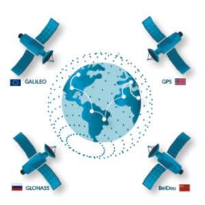
• Όλα τα δορυφορικά συστήματα - όλες οι συχνότητες
• Ακαριαίο FIX κάτω από πραγματικά δύσκολες συνθήκες
• Πανίσχυρο IMU με αξεπέραστες γωνίες κλίσης
• Απρόσκοπτη λειτουργία ως Base ή Rover με μεγάλη διάρκεια εργασίας
• Όλη η συνδεσιμότητα που μπορεί να χρειαστείτε
.jpg)
Αποτυπώστε πιο εύκολα από ποτέ
• Χρησιμοποιήστε το IMU για "σχετικά εύκολα" προσβάσιμα ή κοντινά σημεία
• Αποτυπώστε με κάμερα τα δύσκολα ή απρόσιτα - όπως θα κάνατε με έναν γεωδαιτικό σταθμό
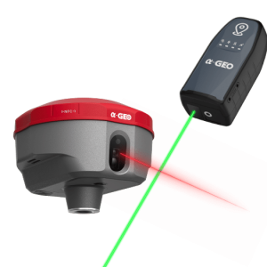
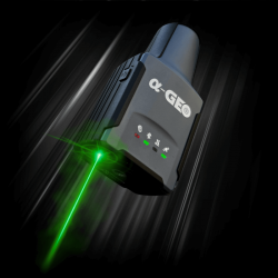
• Σημαδέψτε εύκολα με τη χρήση του LASER pointer, αλλά και της κάμερας με σταυρόνημα και στόχο!
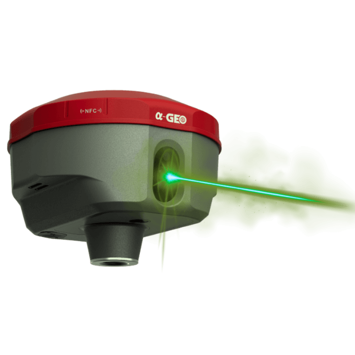
Χαράξτε με την άνεση του IMU και της AR
• Επιλέξτε γρήγορα το σημείο / γραμμή / κύκλο / καμπύλη / τόξο κτλ προς χάραξη, ακόμα και από την οθόνη αποτύπωσης
• Οπτικοποιήστε στο έδαφος τα σημείο προς υλοποίηση, κάνοντας χρήση της κάμερας και της τεχνολογίας AR
• Χρησιμοποιήστε το κορυφαίο IMU, και κερδίστε τον χρόνο κατακορύφωσης του στυλεού
Συνοπτικά χαρακτηριστικά:
- Full GNSS - υποστηρίζει BEIDOU / GPS / GLONASS / Galileo / QZSS / IRNSS αλλά και διορθώσεις SBAS.
- Λαμβάνει, χρησιμοποιεί πλήρες & ολοκληρωμένο σήμα GNSS, διαθέτει 1408 κανάλια με την νέα GNSS μητρική UNICORE UM980
- Μέτρηση υπό κλίση >120° με ακρίβεια καλύτερη από 2cm
- LASER RTK - για αποτύπωση απρόσιτων σημείων
- Κάμερα AR για εικονική χάραξη και γραφική αναπαράσταση
- Διαθέτει υψηλή ακρίβεια RTK οριζοντιογραφικά: 8mm + 1ppm ••• υψομετρικά: 15mm + 1ppm
- Είναι κατάλληλος για RTK, Static & Stop 'n' Go
- Διαθέτει TX/RX UHF 1W/1.5W, και μπορεί να χρησιμοποιηθεί τόσο ως Base όσο και ως Rover
- Είναι μικρός και ελαφρύς, μόλις 760gr
- Διαθέτει πιστοποίηση IP67 - για πλήρη στεγανότητα
- Διαρκεί 12 ώρες χρήσης ως Rover, 7 ώρες λειτουργίας ως Base (με χρήση UHF)
Η Recap Survey είναι ο μοναδικός εξουσιοδοτημένος αντιπρόσωπος της a-GEO στην Ελλάδα.
| Επιδόσεις GNSS | |
| Μητρική πλακέτα | Unicore UM980 high precision GNSS chipset Based on 1408 channel Nebulas IV GNSS SoC |
| IMU 60° | ΝΑΙ, 120° |
| Κανάλια | 1408 |
| GPS | L1 C/A, L1C, L2P(Y), L2C, L5 |
| GLONASS | L1, L2, L3 |
| BeiDou | B1I, B2I ,B3I, B1C, B2a, B2b |
| Galileo | E1, E5a, E5b, E6* |
| QZSS | L1, L2, L5, L6 |
| Ρυθμός ανανέωσης | 5Hz standard - έως 50Hz* |
| RTK ακρίβεια | Οριζοντιογραφική: 8mm + 1ppm RMS | Υψομετρική: 15mm + 1ppm RMS |
| Στατική ακριβεία | Οριζοντιογραφική: 2.5mm + 0.5ppm RMS | Υψομετρική: 5.0mm + 0.5ppm RMS |
| Χαρακτηριστικά συσκευής | |
| Περισσότερα χαρακτηριστικά | Ψηφιακή αεροστάθμη |
| Ανθεκτικότητα | |
| IP | IP67 (βύθιση 30') |
| Θερμοκρασία χρήσης | -40℃ ~+75℃ |
| Θερμοκρασία συντήρησης | -55℃ ~+85℃ |
| Υγρασία | 100% προστασία |
| Δόνηση | Αντοχή σε δονήσεις |
| Πτώση με στυλεό | 2.0 μ |
| Επικοινωνία - Διασύνδεση | |
| Bluetooth | V4.0 - εμβέλεια έως 50m |
| UHF radio | NAI, TX/RX Radio |
| USB Type-C | Για απευθείας φόρτιση και μεταφορά δεδομένων |
| WiFi | 802.11 a/b/g/n/ac |
| Μπαταρία | |
| Ενσωματωμένη | ΝΑΙ |
| Χωρητικότητα | 7000mAh (12h Rover / 7h Base / 15h Static) |
| Φορτιστής | USB Type-C |
| Διαστάσεις | |
| Υψος | 72mm |
| Ακτίνα | 120mm |
| Βάρος | 760gr |


-250x250.png)

-250x250.png)
-250x250.png)
-250x250.png)
-250x250.png)
-250x250.png)
-250x250.png)
-250x250.png)
-250x250.png)
-250x250.png)
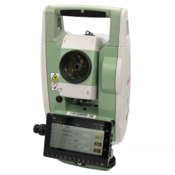
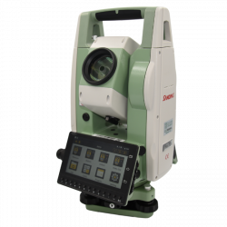

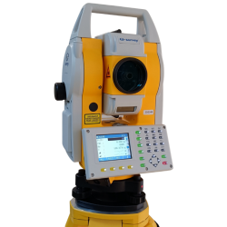
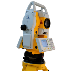
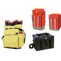
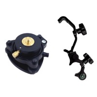
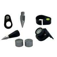
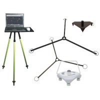
-250x250.jpg)
-250x250.jpg)






-250x250.png)
-250x250.png)
-500x500.png)
-500x500.jpg)
-500x500.png)
-500x500.jpg)
-500x500.jpg)
-500x500.png)
-500x500.png)
-500x500.jpg)
-80x80.png)

-80x80.jpg)
-80x80.png)
-80x80.jpg)
-80x80.jpg)
-80x80.png)
-80x80.png)
-80x80.jpg)
 Messenger
 WhatsApp
 Τηλέφωνο
-60x60.png)

-60x60.png)
-60x60.png)
-250x250.png)
-250x250.png)
-250x250.png)
-250x250.png)
-250x250.png)
-250x250.png)
-250x250.png)
-250x250.jpg)
-250x250.png)
-250x250.png)
-250x250.png)
-250x250.png)
-250x250.png)
-250x250.png)
