- Διαθεσιμότητα: Σε απόθεμα
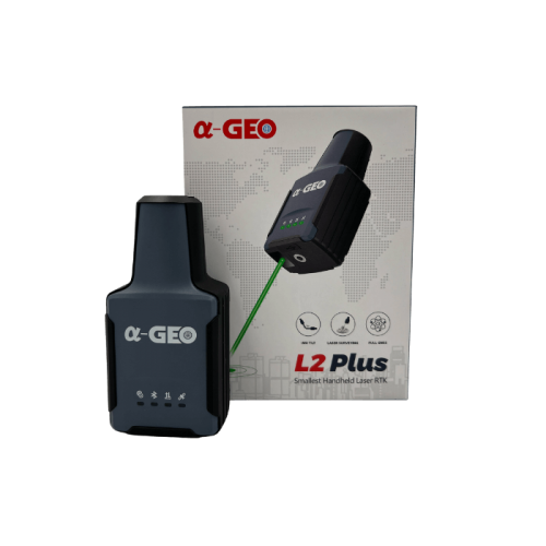
- Μοντέλο: L2 Plus LASER RTK
- Βάρος: 1.00
- Διαστάσεις: 200.00 x 200.00 x 40.00
Διαθέσιμες Επιλογές
Άλλα προϊόντα του ίδιου κατασκευαστή
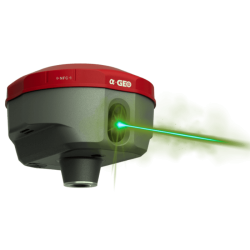
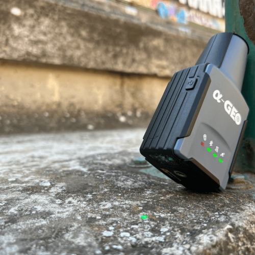
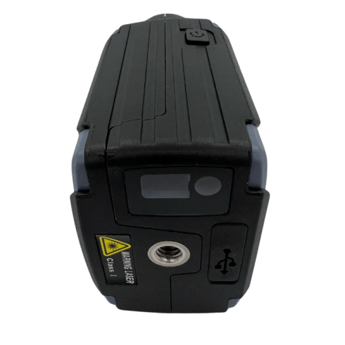
AlphaGeo L2-Plus Full GNSS LASER RTK Receiver
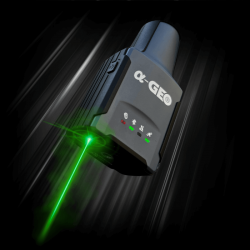
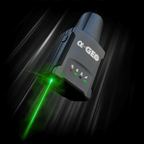
Δοκιμάστε τον νέο LASER RTK δέκτη τσέπης, με όλα τα κορυφαία χαρακτηριστικά του L2 και επιπλέον LASER αποτύπωσης!
Αναλυτική παρουσίαση: https://recap-survey.com/alphageo-l2-plus/
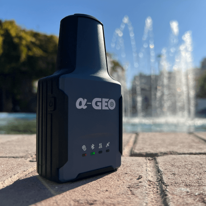
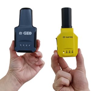
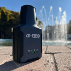
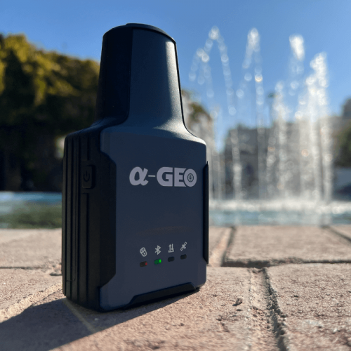
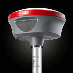
Ο L2 Plus εντυπωσιάζει με την πρώτη ματιά: Μικρός, κομψός, ελαφρύς, φορητός, και πολύ ισχυρός - άξιος διάδοχος του L2, του πρώτου pocket-size RTK δέκτη στον κόσμο.
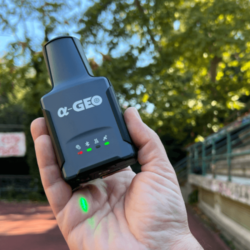
Με μέγιστη διάσταση τα 120mm και βάρος που δεν ξεπερναέι τα 170g, o L2 Plus θα αποτελέσει το νέο gadget του σύγχρονου μηχανικού.
Το μέλλον είναι εδώ.
Ο προκάτοχός του "L2", έδειξε πρώτος τις αξεπέραστες ικανότητές του στη μέτρηση υπό κλίση, υπό γωνίες που στην πράξη ξεπερνούν τις 150°.
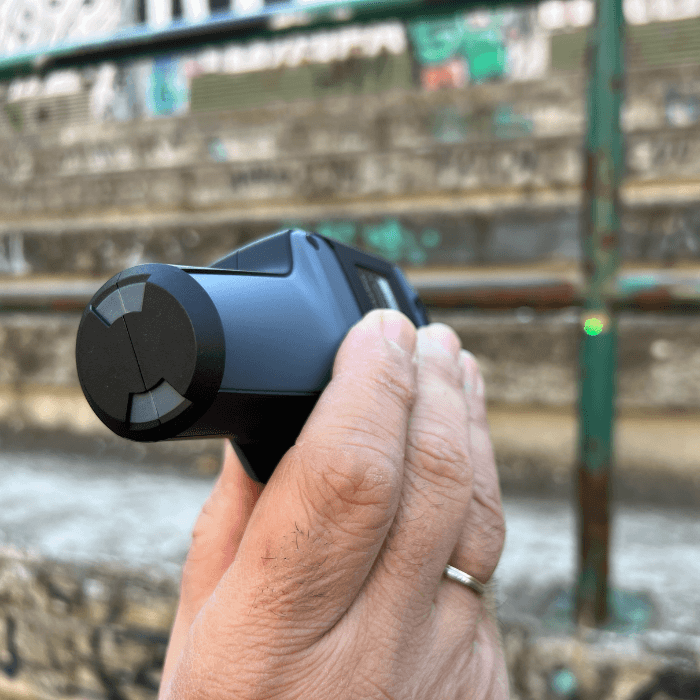
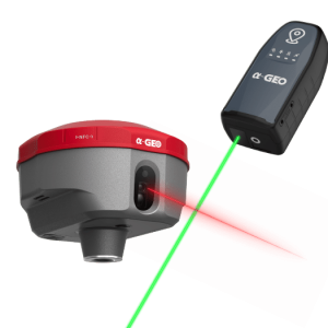
Ο a-GEO L2 Plus υπόσχεται να μας πάει ένα βήμα παρακάτω: Χρησιμοποιώντας δέσμη LASER και έπειτα από ένα γρήγορο calibration, υπόσχεται πως κανένα σημείο δεν θα παραμείνει εκτός του βεληνεκούς αποτύπωσής του!
RTK, LASER Survey & Static
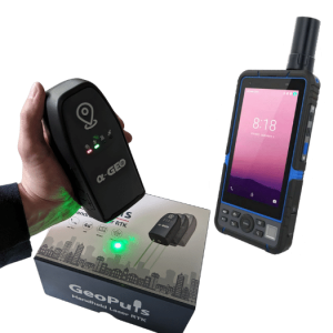
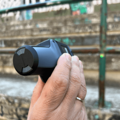
Χρησιμοποιήστε τον L2 Plus για κάθε είδους μέτρηση, είτε με χρήση στυλεού και IMU, είτε στο χέρι με LASER, είτε ακόμα και σε τρίποδα ή δίποδο για μετρήσεις Static!
O L2 Plus θα σας εντυπωσιάσει με την πολυμορφικότητά του και την χρηστικότητά του.
Η δυνατότητα μέτρησης υπό κλίση έως και 120° σε συνδυασμό με την ισχυρή λήψη σήματος και τη δυνατότητα μέτρησης με LASER τον καθιστά ιδανικό και για αστικές αποτυπώσεις, αφού μειώνει δραστικά τη χρήση του γεωδαιτικού σταθμού.
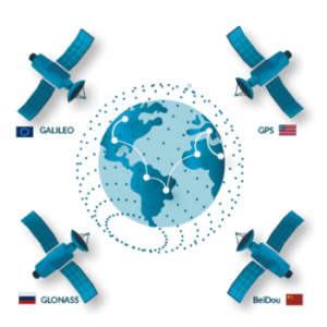
Λαμβάνει και χρησιμοποιεί σήματα GNSS από τους δορυφορικούς σχηματισμούς (αστερισμούς) GPS, GLONASS, BEIDOU, GALILEO & QZSS, ενώ παράλληλα διαθέτει ενεργοποιημένο ρυθμό ανανέωσης 5Hz (λύση θέσης 5 φορές / δευτερόλεπτο).
Compact as...
Ο a-GEO L2 Plus είναι μικρός και ελαφρύς - μόλις 170g και με διαστάσεις "τσέπης" 41mm x 61mm x 120mm.
Αυτό όμως δεν συνεπάγεται καμία παραχώρηση στην ποιότητα, στην ακρίβεια, στην αξιοπιστία, στη διάρκεια και στην αποτελεσματικότητα!
Με μπαταρία διάρκειας μεγαλύτερη από 12h χρήσης, ακρίβεια IMU καλύτερη από 2.5cm στις 120°, και ακρίβεια LASER μέτρησης της τάξης του 1cm+5mm/m, ο L2 Plus θα σας δικαιώσει πλήρως για την επιλογή του.
Float? Πολύ δύσκολα...
Ο a-GEO L2 Plus διαθέτει πανίσχυρο firmware, το οποίο του επιτρέπει να επιλύει δίπλα σε εμπόδια, σε δασικό και αστικό περιβάλλον, και γενικότερα κάτω από πολύ δύσκολες συνθήκες.
Συνδυάστε τον με ένα καλό δίκτυο σταθμών αναφοράς, και διατηρήστε όσο το δυνατόν μικρότερες απόστάσεις από τη βάση, ή επιλέξτε μια VRS λύση.
Ο a-GEO L2 Plus θα "λάμψει" πραγματικά, αναδεικνύοντας τον εξαιρετικό αλγόριθμο επίλυσης που διαθέτει!
Συνοπτικά Χαρακτηριστικά
- Λήψη GPS, GLONASS, BEIDOU, GALILEO & QZSS συμπεριλαμβανομένης της E6 (HAS / Galileo)
- LASER Survey με ακρίβεια 1cm+5mm/m
- Μέτρηση υπό κλίση με ακρίβεια καλύτερη από 2.5cm στις 120°
- Ιδανικός για χρήση με στυλεό, στο χέρι, αλλά και για μετρήσεις Static.
- Υψηλή στεγανότητα IP67
- Διάρκεια χρήσης RTK >12h
- Βάρος 170g - Διαστάσεις 120mm x 41mm x 61mm
O L2 Plus είναι κατάλληλος για διάφορες τοπογραφικές εργασίες, οδοποιία, GIS, χωματουργικές εργασίες, ενώ προτείνεται και για ευρύτερο φάσμα επαγγελματιών (δασολόγους, γεωπόνους κ.α.) λόγω της ευκολίας χρήσης του.
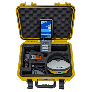
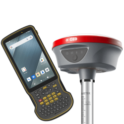
Η αναγραφόμενη τιμή αφορά αποκλειστικά τον δέκτη. Δεν περιλαμβάνονται (πωλούνται χωριστά) τα SurPro 6.0, χειριστήριο πεδίου & στυλεός.
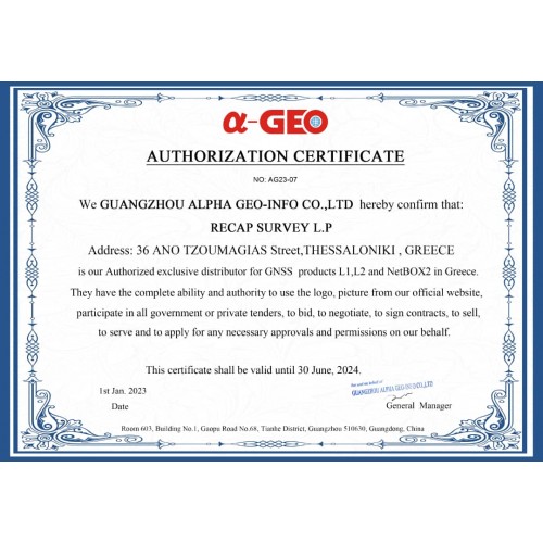
Η Recap Survey είναι ο μοναδικός εξουσιοδοτημένος αντιπρόσωπος της a-GEO στην Ελλάδα.
| Χαρακτηριστικά δέκτη GNSS | |
| LASER RTK | NAI, 1cm+5mm/m |
| Επιδόσεις GNSS | |
| Μητρική πλακέτα | Unicore UM980 high precision GNSS chipset Based on 1408 channel Nebulas IV GNSS SoC |
| IMU 60° | NAI, 120°+ |
| Κανάλια | 1408 |
| GPS | L1C/A,L1C,L2C,L2P(Y),L5 |
| GLONASS | L1,L2 |
| BeiDou | B1I,B2I,B3I,B1C,B2a,B2b |
| Galileo | E1,E5a,E5b,E6* |
| QZSS | L1,L2,L5,L6* |
| Ρυθμός ανανέωσης | 5Hz |
| RTK ακρίβεια | H: 8mm + 1ppm V: 15mm + 1ppm |
| Στατική ακριβεία | H:2.5mm+0.5ppm V:5mm+0.5ppm |
| Ανθεκτικότητα | |
| IP | IP67 |
| Θερμοκρασία χρήσης | -20℃ ~+75℃ |
| Θερμοκρασία συντήρησης | -40℃ ~+85℃ |
| Ελεύθερη πτώση | 2μ |
| Επικοινωνία - Διασύνδεση | |
| Bluetooth | NAI |
| UHF radio | OXI |
| USB Type-C | Για απευθείας φόρτιση |
| Μπαταρία | |
| Ενσωματωμένη | ΝΑΙ |
| Χωρητικότητα | 2000mAh |
| Φορτιστής | USB Type-C |
| Διαστάσεις | |
| Πλάτος | 41mm x 61mm |
| Υψος | 120 mm |
| Βάρος | 170gr |


-250x250.png)

-250x250.png)
-250x250.png)
-250x250.png)
-250x250.png)
-250x250.png)
-250x250.png)
-250x250.png)
-250x250.png)
-250x250.png)

-250x250.jpg)
-250x250.jpg)



-250x250.png)
-250x250.png)


 Messenger
 WhatsApp
 Τηλέφωνο
-60x60.png)
-60x60.png)
-60x60.png)

-250x250.png)
-250x250.png)
-250x250.png)
-250x250.png)
-250x250.png)
-250x250.jpg)
-250x250.png)
-250x250.png)
-250x250.png)
-250x250.png)
-250x250.png)
-250x250.png)
